GCED Basic Search Form
Quick Search
Close
Usted está aquí
Resources
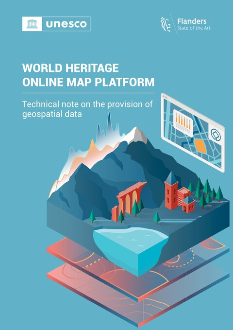
World Heritage Online Map Platform: Technical Note on the Provision of Geospatial Data
Lugar de publicación | Año de publicación | compilación:
Paris | 2023 | 13 p.
Región:
Global

UNESCO’s World Heritage Online Map Platform (WHOMP) is a Geographic Information System (GIS) developed with the support of the Government of Flanders (Belgium), aiming at the creation of a comprehensive and accessible geodatabase for World Heritage properties worldwide. This platform is hosted and managed by UNESCO which ensures that the data presented correspond exactly to the boundaries of the World Heritage properties and their buffer zones as inscribed in the World Heritage List, including any changes adopted by the World Heritage Committee after the initial inscription of a property.
Archivos:
Tipo de recurso:
Planes de estudios, material didáctico y guías
Tema:
Diversidad / alfabetización cultural / inclusiva
Otros
Nivel de educación:
Educación no formal
Otros
Palabras claves:
Cultural heritage
natural heritage
Geographical information systems
Digital platforms
Patrimoine culturel
Patrimoine naturel
Système d'information géographique
Plateforme numérique
